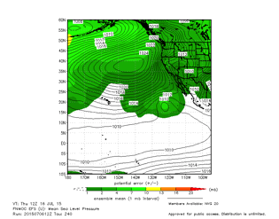
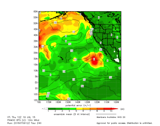
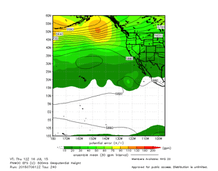
The fastest boats in Transpac find the best sailing conditions: the best wind, waves, and currents helping them sail fast. Navigators do that by analyzing weather information and forecasts they downloaded to their boat computers.
While it may seem that most weather forecasters work for the television news stations broadcasts at 6 and 10, many specialize in making weather forecasts for the oceans of the world. Some specialists, like Clayton Corbin, work for the U.S. Navy or other governmental agencies like NOAA and NWS. Some, like Ken Campbell of Commander's Weather, provide their services on a private commercial basis. Others work in university and research settings.
Most of their forecasts rely on extensive computer models based on information relayed from weather buoys, lighthouses, ships at sea, and satellites orbiting the Earth. There are different computer models generated by governmental agencies in Europe, Canada, and the United States. The U.S. version is called "GFS" and it's models predict weather for many days in advance. Of course, the further in the future the prediction, the more likely it is that it will be inaccurate. GFS models are usually accurate for at least two days.
Boat navigators download and study files called GRibs that provide clues about future weather. They evaluate winds and barometric pressures at the ocean surface, at 10 meters (closer to the height of a sailboat's masthead), and by looking at the weather steering systems found at 300 and 500 millibars.
Click on the links below and be taken to websites that sailboat navigators use to predict the weather and plot their course.


